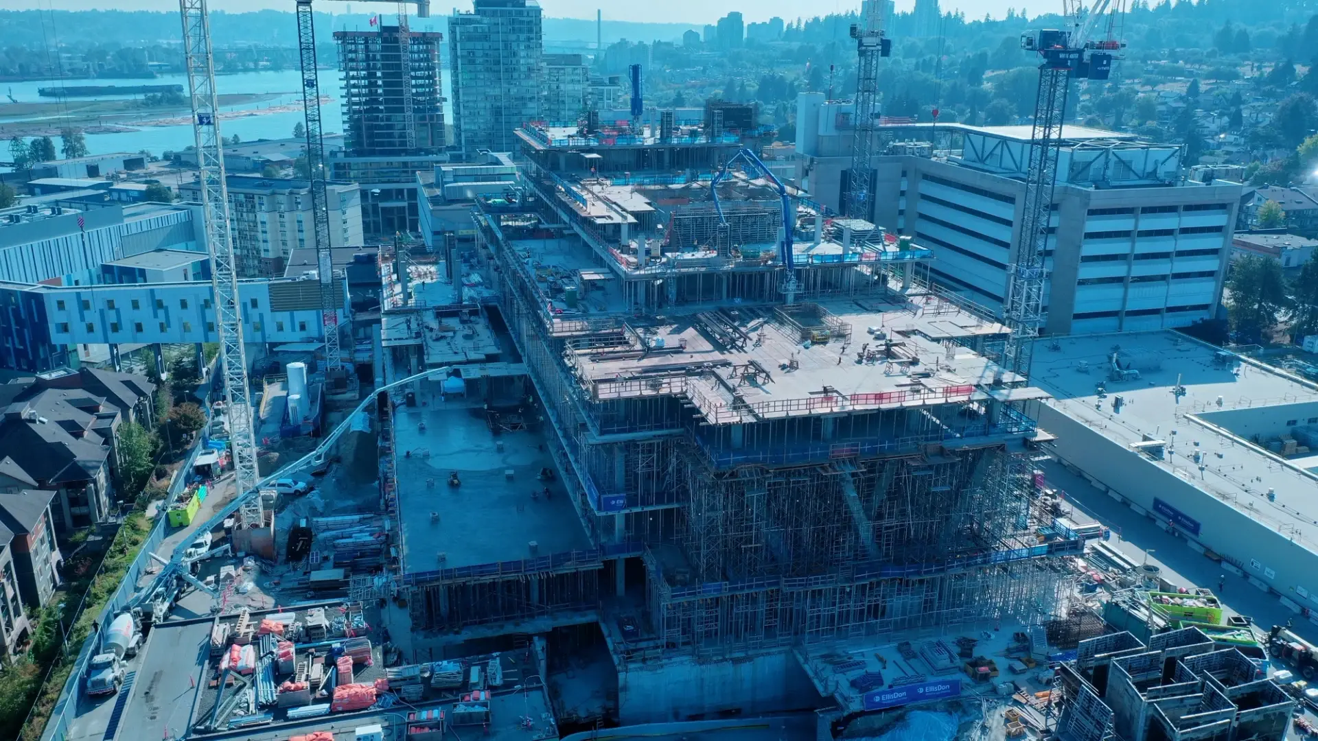
The EllisDon Edge
What We Deliver
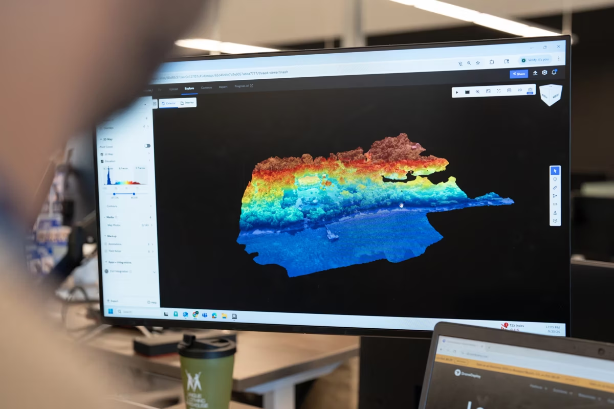
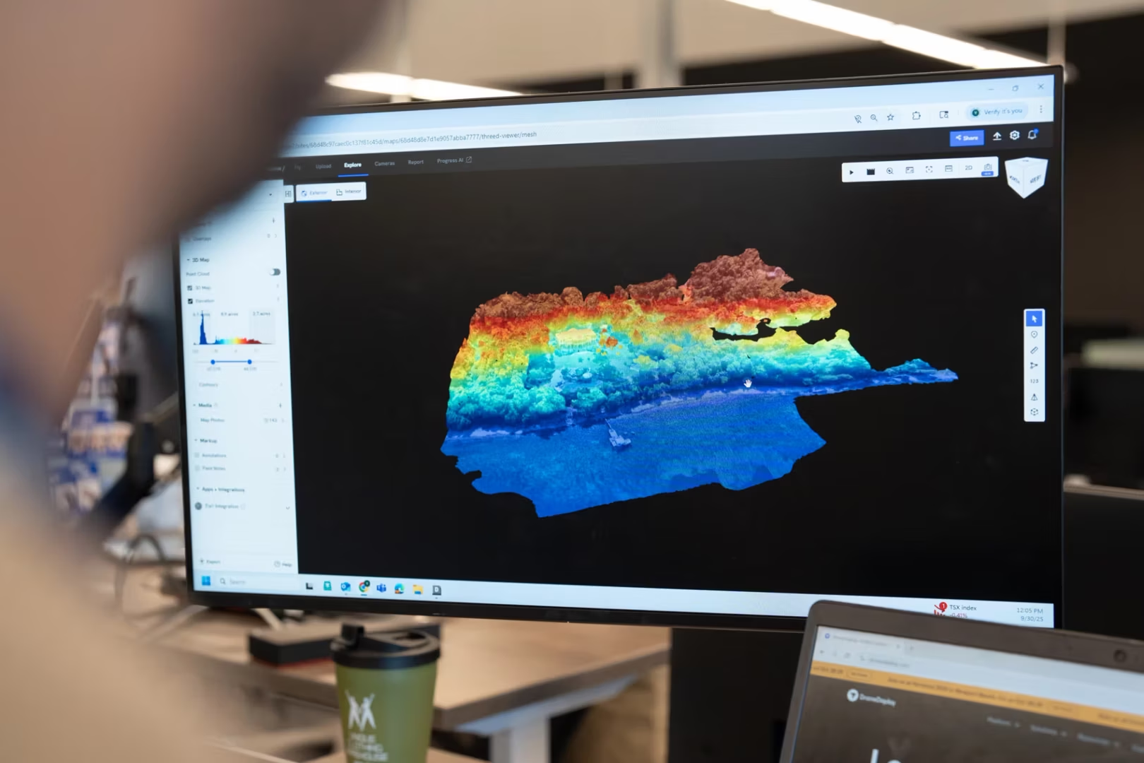
Our aerial data capture services deliver high-resolution site imagery, drone mapping, and photogrammetry outputs to support accurate analysis and planning. From progress tracking and site inspections to documenting complex or hard‑to‑access areas, these solutions provide clear visual intelligence for faster, more informed decision-making.
Common Use Cases
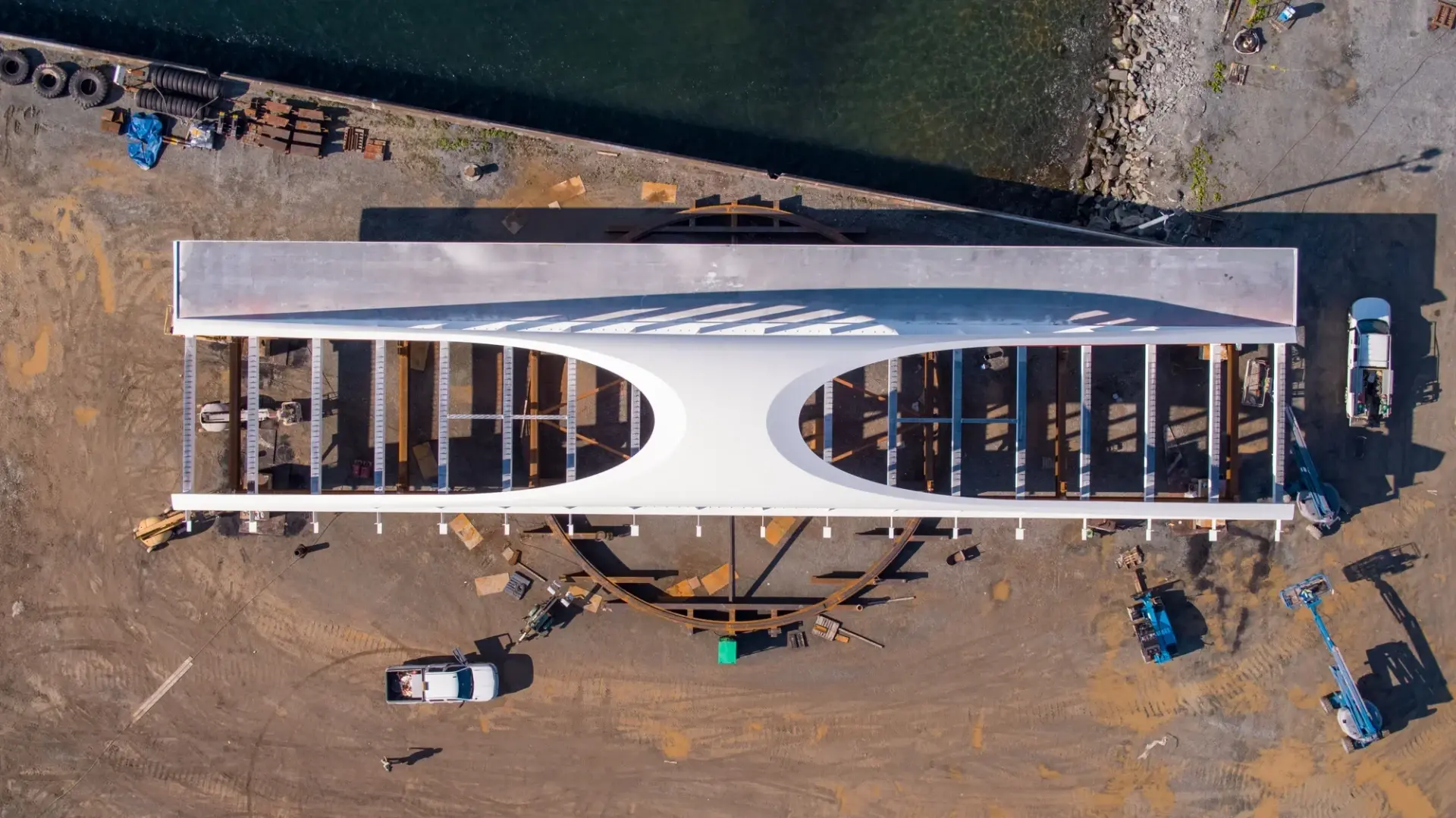
Our aerial services support surveying and mapping, progress monitoring, and real‑time visibility across active projects. From inspecting hard‑to‑access conditions to improving construction logistics and operational awareness, these solutions provide actionable intelligence for more efficient and informed project execution.
Results
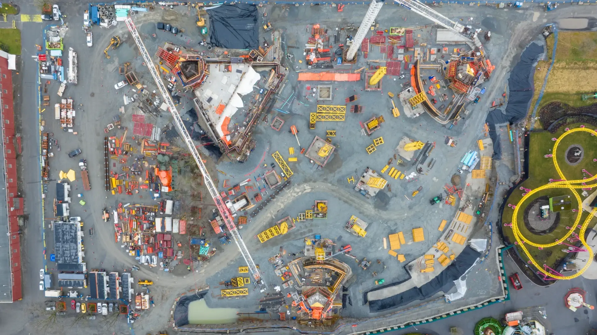
Our aerial services improve safety and efficiency by enabling access to large, remote, or hard‑to‑reach environments without risk. Rapid data capture across active sites enhances visibility into real‑time conditions and progress, while up‑to‑date visual intelligence strengthens communication and supports faster, more informed decision‑making.
Our aerial data capture services deliver high-resolution site imagery, drone mapping, and photogrammetry outputs to support accurate analysis and planning. From progress tracking and site inspections to documenting complex or hard‑to‑access areas, these solutions provide clear visual intelligence for faster, more informed decision-making.